 Image 1 of 1
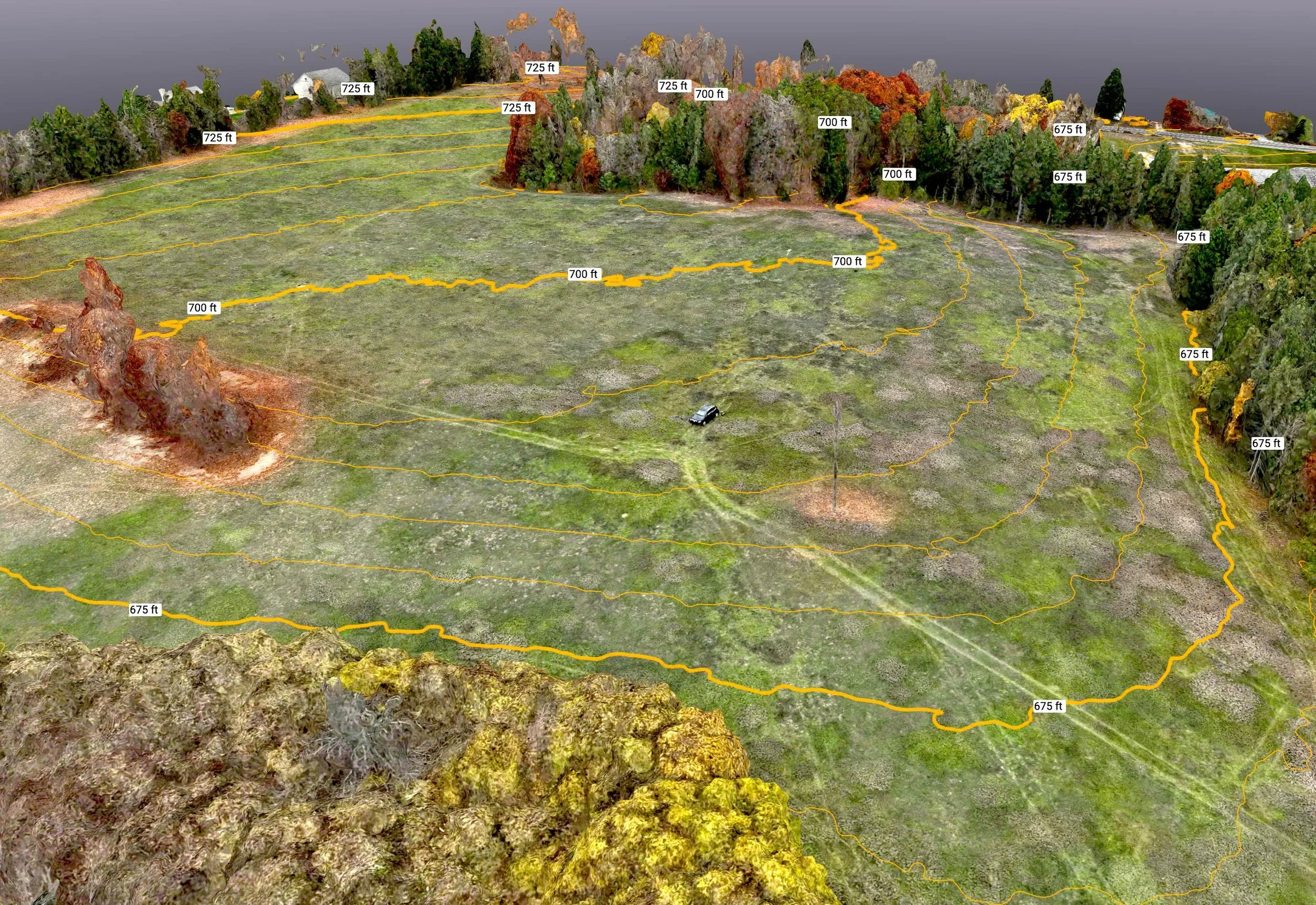
Get an elevated perspective on your site with Grand Traverse Aerial’s comprehensive drone mapping services. Our RTK-capable equipment produces accurate maps and 3D models. When absolute accuracy is required, we can incorporate ground control points measured with survey-grade GPS equipment.
Get an elevated perspective on your site with Grand Traverse Aerial’s comprehensive drone mapping services. Our RTK-capable equipment produces accurate maps and 3D models. When absolute accuracy is required, we can incorporate ground control points measured with survey-grade GPS equipment.